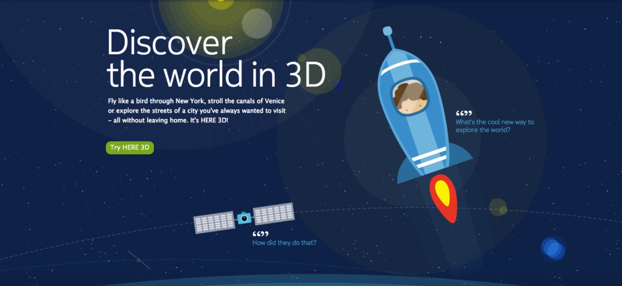
Illustration above created by Ricardo Osorio Santos
Nokia Maps (later HERE Maps)
My role
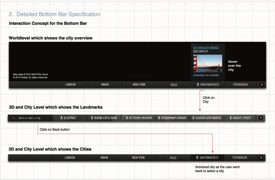
I led the UX of the 3D Map interface as an interaction designer and collaborated with two other designers who focussed on the visual side of this project. In addition, I worked alongside a researcher, copywriter, product manager and an external product manager/ partner providing the 3D data. I stopped working on the project during the detailed visual design phase but took it on again to create visual prototypes for final usability tests. The app launched globally in 2013.
Context
While Nokia transitioned from Nokia Ovi Maps to HERE Maps, we worked with a company called 3G. Apple bought the company shortly after this project and while the test prototype we built was released, we never could bring this concept further. It still is a project I remember back with lots of joy. I was able to travel to Stockholm for workshops and had an overall amazing time and many inspirations.
The challenge
Working with a start-up on a test data set to see if their data could benefit the overall Nokia Maps (now HERE Maps) user experience.
The solution
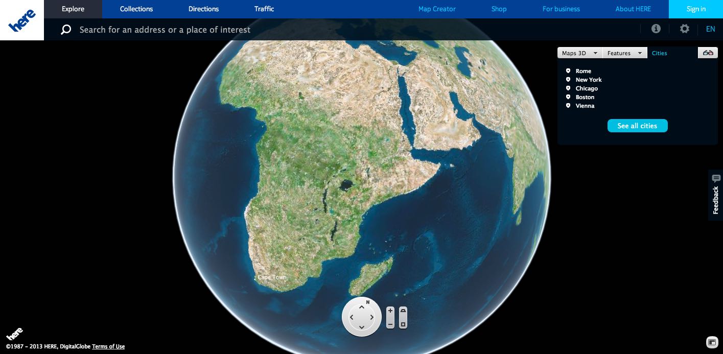
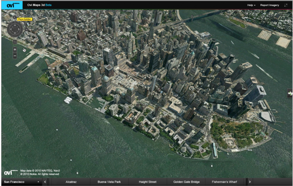
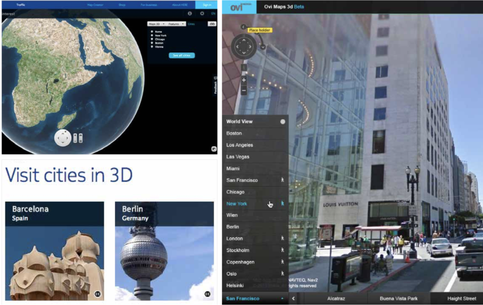
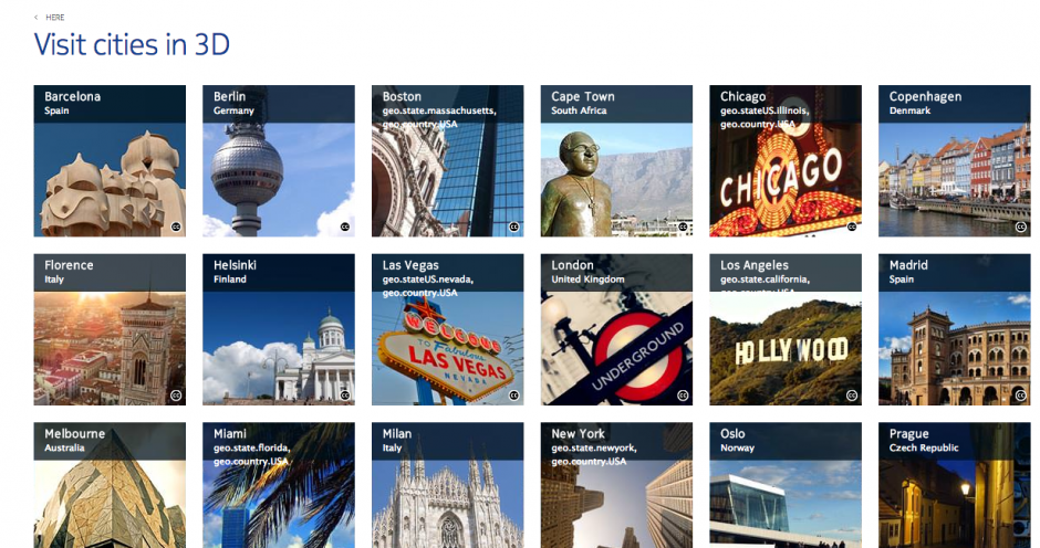
We developed a travel guide which would let the user explore cities in 3D before they even travel there. This sounded groundbreaking at that time, it was a baby step towards a series of AR concepts.